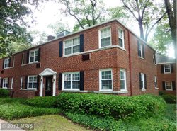
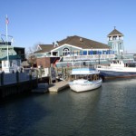
The independent city of Alexandria located in the state of Virginia is known as George Washington's hometown. Alexandria is also known for being rich with colonial history. Alexandria is located approximately 11 km south of downtown Washington, D.C. As of the 2018 census, the population was 160,035 which grew by 1.75% from the previous year.
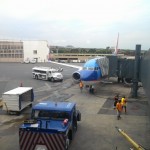
Due to the proximity of Alexandria to the capital of the United States, majority of professionals are working to serve the US military, federal civil service, or private companies which provide contractual work to the federal government. Some of the major employers found in Alexandria are the United States Department of Defense, United States Department of Commerce, Institute of Defense Analyses, United States Patent and Trademark Office, and the National Science Foundation.
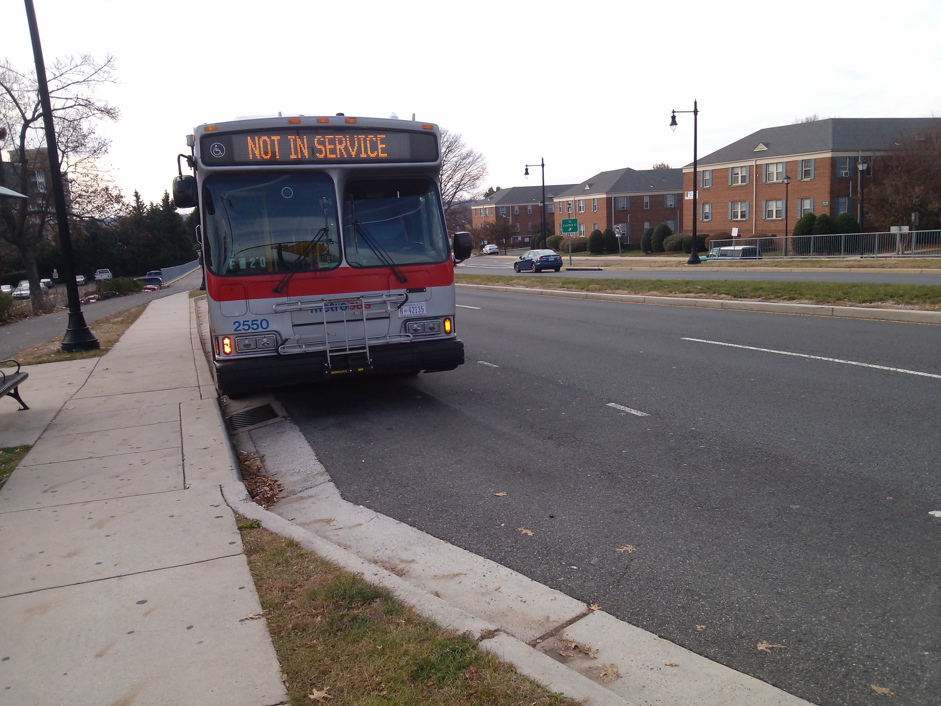
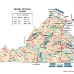
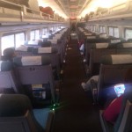
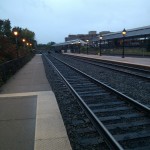
Alexandria's historic train station, Alexandria Union Station, has an Amtrak train which offers intercity services. Alexandria also has the Virginia Railway Express which offers regional rail services. Braddock Road, Eisenhower Avenue, and Van Dorn Street are three other stations located in Alexandria. The DASH bus, Alexandria's own mass transit system, connects interest points with local transit hubs. Alexandria also offers free bus services between the waterfront and the King Street Metro Station.
In terms of school ranking, Waynewood Elementary School came in first in the elementary level followed by Lyles-Crouch Elementary and Charles Barrett Elementary School. For middle school, Hayfield Secondary and Twain Middle School are the top schools. Lastly, for high school, Thomas Jefferson High for Science and Technology and Hayfield Secondary are the top schools.
The independent city of Alexandria located in the state of Virginia is known as George Washington's hometown. Alexandria is also known for being rich with colonial history. Alexandria is located approximately 11 km south of downtown Washington, D.C. As of the 2018 census, the population was 160,035 which grew by 1.75% from the previous year.
Due to the proximity of Alexandria to the capital of the United States, majority of professionals are working to serve the US military, federal civil service, or private companies which provide contractual work to the federal government. Some of the major employers found in Alexandria are the United States Department of Defense, United States Department of Commerce, Institute of Defense Analyses, United States Patent and Trademark Office, and the National Science Foundation.
Alexandria's historic train station, Alexandria Union Station, has an Amtrak train which offers intercity services. Alexandria also has the Virginia Railway Express which offers regional rail services. Braddock Road, Eisenhower Avenue, and Van Dorn Street are three other stations located in Alexandria. The DASH bus, Alexandria's own mass transit system, connects interest points with local transit hubs. Alexandria also offers free bus services between the waterfront and the King Street Metro Station.
In terms of school ranking, Waynewood Elementary School came in first in the elementary level followed by Lyles-Crouch Elementary and Charles Barrett Elementary School. For middle school, Hayfield Secondary and Twain Middle School are the top schools. Lastly, for high school, Thomas Jefferson High for Science and Technology and Hayfield Secondary are the top schools.
Alexandria: The Independent City
The independent city of Alexandria located in the state of Virginia is known as George Washington's hometown. Alexandria is also known for being rich with colonial history. Alexandria is located approximately 11 km south of downtown Washington, D.C. As of the 2018 census, the population was 160,035 which grew by 1.75% from the previous year.
Due to the proximity of Alexandria to the capital of the United States, majority of professionals are working to serve the US military, federal civil service, or private companies which provide contractual work to the federal government. Some of the major employers found in Alexandria are the United States Department of Defense, United States Department of Commerce, Institute of Defense Analyses, United States Patent and Trademark Office, and the National Science Foundation.
Alexandria's historic train station, Alexandria Union Station, has an Amtrak train which offers intercity services. Alexandria also has the Virginia Railway Express which offers regional rail services. Braddock Road, Eisenhower Avenue, and Van Dorn Street are three other stations located in Alexandria. The DASH bus, Alexandria's own mass transit system, connects interest points with local transit hubs. Alexandria also offers free bus services between the waterfront and the King Street Metro Station.
In terms of school ranking, Waynewood Elementary School came in first in the elementary level followed by Lyles-Crouch Elementary and Charles Barrett Elementary School. For middle school, Hayfield Secondary and Twain Middle School are the top schools. Lastly, for high school, Thomas Jefferson High for Science and Technology and Hayfield Secondary are the top schools.